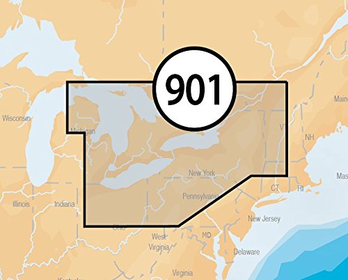
Navionics Platinum+ SD 901 East Great Lakes Nautical Chart on SD/Micro-SD Card – MSD/901P+
- Paper chart appearance for the Clearest charts and best detail
- High-resolution satellite photo overlay
- 3-Dimensional view
- Panoramic port pictures
- On SD/micro-SD card
Navionics Platinum+ East great lakes on SD/micro-SD card, manufacturer’s part number SD/901P+, covers lakes Huron, Erie, and Ontario. Navionics award-winning Platinum+ charts, the most advanced multi-dimensional marine charts available, offer navigators a selection of bonus information beyond the best available navigation charts such as panoramic pictures, 3D/2D views w/satellite imagery, complete Coast Pilot guide, poi, high-definition fishing detail, and more. Navionics has amassed the most comprehensive mapping database of its kind with more than 25,000 charts and port plans. Platinum+ Plug-and-play cartography is an indispensable component of the industry’s leading chartplotter manufacturers including hummiNBird, lowrance, North Star, r

Gps Maps Sd Card