inReach insights from a rescue helicopter professional
May 15, 2026
A search and rescue helicopter hoist operator and medic for Air Greenland shared with Garmin how our inReach® satellite communication devices1 play a pivotal role in their rescue operations.
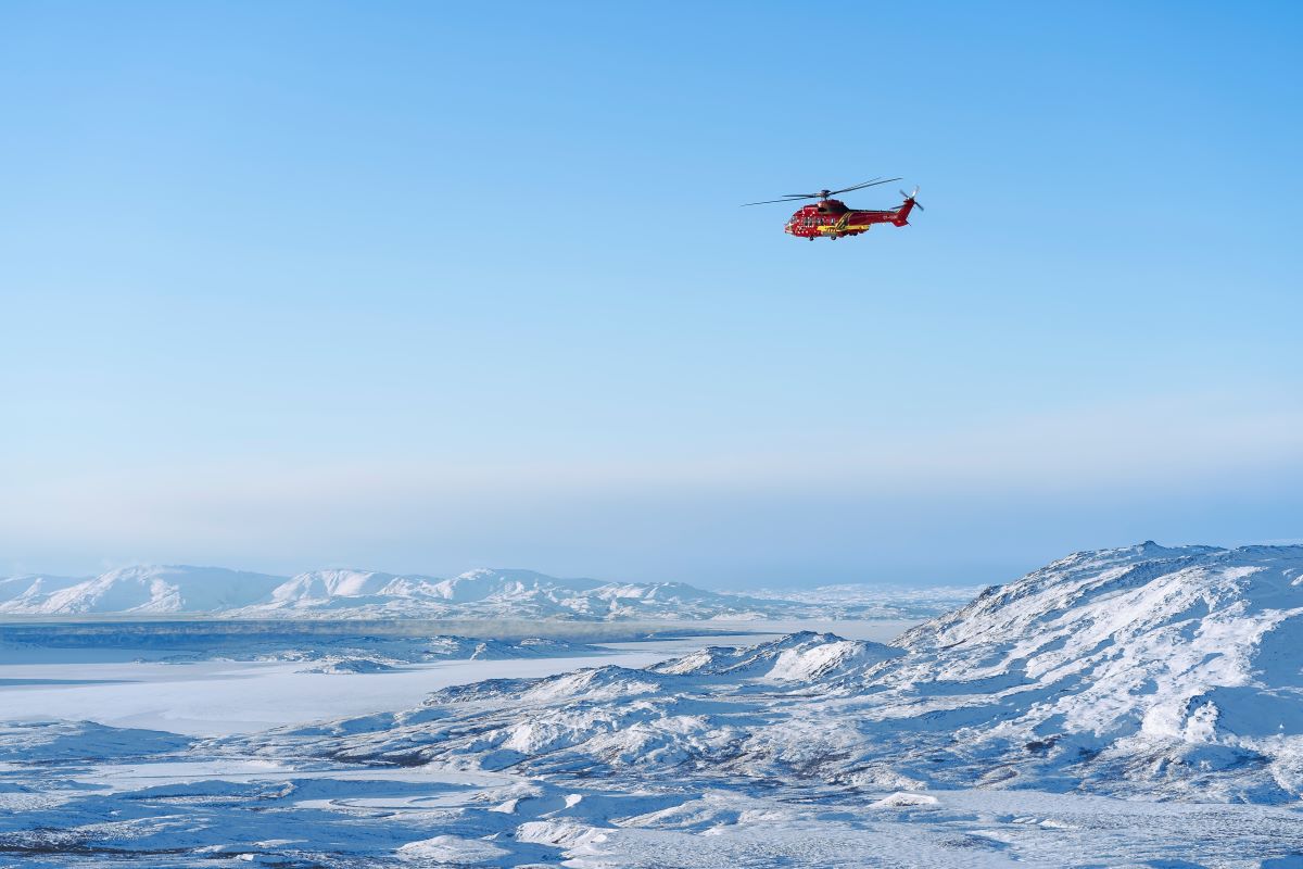
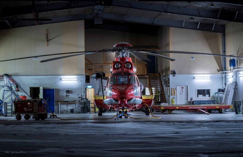
Lasse Nymand Petersen has spent more than 15 years as a mountain rescue professional and 15 years as a firefighter. For the past 5 years, Petersen has worked as a hoist operator and medic on H225 helicopters for Air Greenland, the country’s national airline that also staffs search and rescue operations. An H225 crew is on duty at all hours, year-round, along with mechanics who maintain the helicopters. Some of their rescues have been featured on episodes of the Danish TV program The Arctic Rescuers.
From his experience as a professional rescuer, Petersen has become an advocate for the use of inReach technology.
Petersen said that when recreators in need of rescue are equipped with inReach devices, the technology plays a key role in the helicopter evacuations, “making the emergency work fast and precise” due to the two-way satellite communication and precise location updates.
He referenced a rescue they conducted in which a group of researchers became trapped on the Greenland Ice Cap in sudden whiteout conditions. Limited visibility on the Ice Cap can be very dangerous due to the risk of falling in hidden crevasses, and the team was trapped between two large crevasses with a dangerous storm impending.
Petersen said the group used their inReach device to summon help and provide real-time weather updates to the four-person helicopter rescue crew.
“This allowed us to locate them quickly and land safely without incident,” he said. “Without it, we would have to fly around, searching a huge area to see if we could find them. And that’s only if we were certain the weather was flyable.”
He believes failing to plan is simply a plan to fail and recommends for all those who spend time outdoors — especially in dangerous terrains or harsh conditions — to always have an emergency contact that has all the information to provide about the expedition.
Additionally, he has a few other insights about what to be prepared with in case of needing rescue.
A signal mirror, flares or a headlamp with advanced signal capabilities can help the helicopter team locate individuals, he said. And having an inReach device is key for the SOS and two-way satellite messaging functions.
“Emergency locator beacon — like the inReach device,” he said. “And communication equipment — like the inReach device. That’s already two-in-one.”
1Active subscription required. Some jurisdictions regulate or prohibit satellite communication devices; it is the user’s responsibility to know and follow all applicable laws.