Garmin LakeMaster Michigan (microSD(TM)/SD(TM) card )
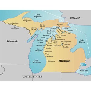
- Contains coverage of more than 2,500 lakes in Michigan including Arbutus, Bellaire, Belleville, Bond Falls Flowage, Cass, Clam, Fenton, Gogebic, Gun, Hardy Pond, Intermediate Chain, Lakeville, Long, Lotus, Macaday, Pontiac, Spider, and St. Helen
- Provides detailed shorelines and depth contours, including 1-foot contours for many lakes created from on-the-water surveys
- Displays islands, reefs, points, bays, inlets, access points, boat ramps and aquatic vegetation
- Includes rivers, streams, river and creek channels, interstates, highways, and general roads
Spend the day fishing, boating or just enjoying the water on thousands of lakes and waterways in Michigan. LakeMaster Michigan has detailed coverage of more than 2,500 lakes with high-definition depth contours and lake bottom information structure created from on-the-water surveys. LakeMaster maps also include rivers, streams, channels, islands, inlets, boat ramps and access points, hazards, and aquatic vegetation, as well as full statewide road coverage.
