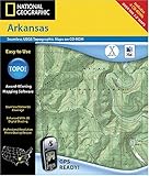
National Geographic TOPO! Map of Arkansas (Mac)
National Geographic TOPO! Map of Arkansas (Mac)
- Includes hundreds of printable National Geographic and USGS topographical maps of Arkansas
- Annotate your maps with trail routes, notes, web links and photos
- Export maps as .gif or .jpg formats of use in other applications
- Easily transfer waypoints and routes with your GPS
- Create, view and print elevation profiles
Award-Winning TOPO! Mapping Software
List Price: $ 99.99
Price: $ 18.85

