Garmin Marine Chart Updates Reach 9.8 Million in 2024
January 30, 2025
Now that 2024 has come to a close, there is a lot to celebrate when it comes to Garmin marine mapping. We’ve seen the data. There is no doubt that Garmin and Navionics mapping products have stayed the course with continuously improved charts and lake maps to bring you the #1 mapping product1 for your adventures on the water.
Garmin almost doubled marine chart updates from 2023 with a reported 9.8 million updates in 2024 around the globe. These updates come from a range of official and trusted sources as well as user-submitted depth information. With updated shorelines, changes to marinas and dock layouts, as well as marked hazards and navaids such as buoys and lights, you’ll have detailed mapping you want to help you along your journey.
What’s New?
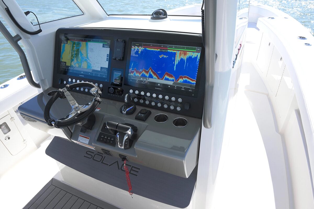
Fishing chart updates: We know that everyone has their favorite fishing spot. Collecting depth data via user sonar logs and targeted survey activities allows for more detailed information on locations where boaters are on the water. Sonar logs integrated into Garmin fishing maps in 2024 doubled those in 2023 at 8.7 million. Get your fishing gear ready to reel in many more big ones this year.
Relief shading: For more in-depth visuals of lakes and other large bodies of water across the world, Garmin has used crowdsourced depth data and lake surveys to improve and expand relief shading. Now you can see more detailed, high-resolution images of some of our mariners most frequent spots.
Other notable updates include:
- Approximately 110,600 miles (about 178,000 kilometers) of coastline updates
- More than 20,000 Notice to Mariner updates
- Upwards of 17,000 electronic navigation chart (ENC) updates
- Almost 900 new official paper charts integrated
To check out recent updates, visit the map and charts updates page on Garmin.com. You can also see the latest charts on Garmin’s Chart Viewer.
To get daily updates, detailed charts and high-resolution imagery, Garmin chartplotter users can get a 1-year, renewable marine charts and maps subscription with a purchase of a new Garmin Navionics+™ or Garmin Navionics Vision+™ chart. Select Garmin chartplotters have preinstalled Garmin Navionics+ charts. To keep charts up to date, users can download the ActiveCaptain® app on their compatible mobile device or download our Garmin Express™ software on a computer. If you don’t own a Garmin chartplotter, Navionics+ and premium Navionics Platinum+ can be purchased and are compatible for many chartplotter brands. If you aren’t a chartplotter user but still want access to charts, check out the feature-packed Navionics® Boating app.
Whether you are an angler preparing for an upcoming fishing tournament, or you hop on your boat merely for the pleasure of a relaxing sail, these marine mapping updates are sure to enhance your time on the water.
1Based on 2024 sales