Felt upgrades GIS platform – GPS World : GPS World

Photo: Felt
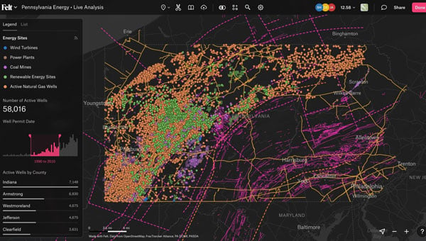
Felt has introduced Felt 3.0, which includes new features and native database integrations to improve Geographic Information Systems (GIS) capabilities. The goal of Felt 3.0 is to make data more accessible and actionable for stakeholders. It provides modern GIS tools for teams to visualize, analyze and present important insights and map data relevant to their operations.
The company released version 2.0 in November 2023, which introduced UI and spatial analysis tools. This was the first step towards allowing users to gather insights from geospatial data for recruiting, analytics, management and more. Now, with Felt 3.0, teams can connect their database directly to Felt and build interactive components and dashboards tailored to their specific workflow.
Felt 3.0 allows users to directly connect Postgres/PostGIS and Snowflake databases and keep the data fresh with automated live data updates. Support for other third-party data sources, including Databricks, Amazon’s S3 and Redshift, Google’s BigQuery, and SpatioTemporal Asset Catalogs (STAC), will be available soon.
Developers can also use Felt’s new API to reduce engineering time for custom geospatial app implementations. The API allows users to create and style elements and listen to map updates via webhooks, while providing a Python SDK for professionals to continue to work in their preferred tools.
