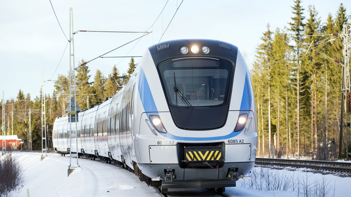
Alstom pioneers use of Galileo to help measure location and speed of

Photo: Alstrom
News from the European GNSS Agency
In June, Alstom became the first railway manufacturer to integrate certified data-fusion algorithms for fail-safe train localization, using position and speed of trains based on GNSS data coming from multiple constellations including Galileo.
The added value of Galileo and EGNOS in the European railway sector is widely known, especially when it comes to non-safety applications, such asset management and passenger information services.
In recent years, however, with multi-constellation becoming the norm and multifrequency receivers being adopted rapidly, rail stakeholders view GNSS-based solutions as game-changers for the future of European Train Control System (ETCS).
A recent example of EGNSS adoption in rail operations is the innovative odometry solution deployed by Alstom to measure the location and speed of its trains. The French rolling-stock manufacturer introduced a new sensor type, with a hybridisation of satellite information and inertial sensors. The solution is primarily using GNSS Doppler information, derived from Galileo, GPS and GLONASS constellations (configurable).
Such use allows to improve the overall confidence in the resulting speed, along with specific algorithms to master the resulting location accuracy. The GNSS receiver is an automotive grade receiver manufactured by u-blox. The inertial measurement unit (IMU) used to supplement information in case of GNSS loss is based on enhanced micro-electromechanical systems (MEMS) technology, with temperature compensation.
The new odometry system based on data fusion, which Alstom is currently implementing in Norway, is applicable to all types of trains and all environments, including the harshest weather conditions. It is estimated that by 2026, 450 trains will be equipped with this new feature across Norway.
Increased safety, lower costs for rail companies
Wheel slipping and sliding especially during demanding weather conditions can affect the odometer accuracy and the proper functioning of the different sensors involved. By incorporating Galileo signals as an extra layer of accuracy, Alstom managed to create a system that is capable of providing a more robust speed and location estimate. This space data fusion approach —certified by Belgorail — minimizes the need for the costly external radar components for localisation and speed measurement currently used.
“Industry embedding Galileo in their solutions is the proof that we are on the right path to ensure the market uptake of the EU Space Programme technology,” said Rodrigo da Costa, GSA executive director. “This is a recognition of the capability of EGNSS to reduce the need for infrastructure and related cost, while maintaining the operational safety of ETCS.”
