Aircraft lands autonomously without ground assistance
A German research team successfully demonstrated a completely autonomous airplane landing in May, without assistance from any ground-based systems, fulfilling a key step towards autonomous air traffic and the much-bruited Urban Air Mobility (UAM). An optical reference system, encompassing a camera in the normal visible range and an infrared camera for conditions with poor visibility, combined with GPS to bring the modified Diamond DA42 in for a safe, unpiloted landing at the Diamond Aircraft airfield in Wiener-Neustadt, Austria.

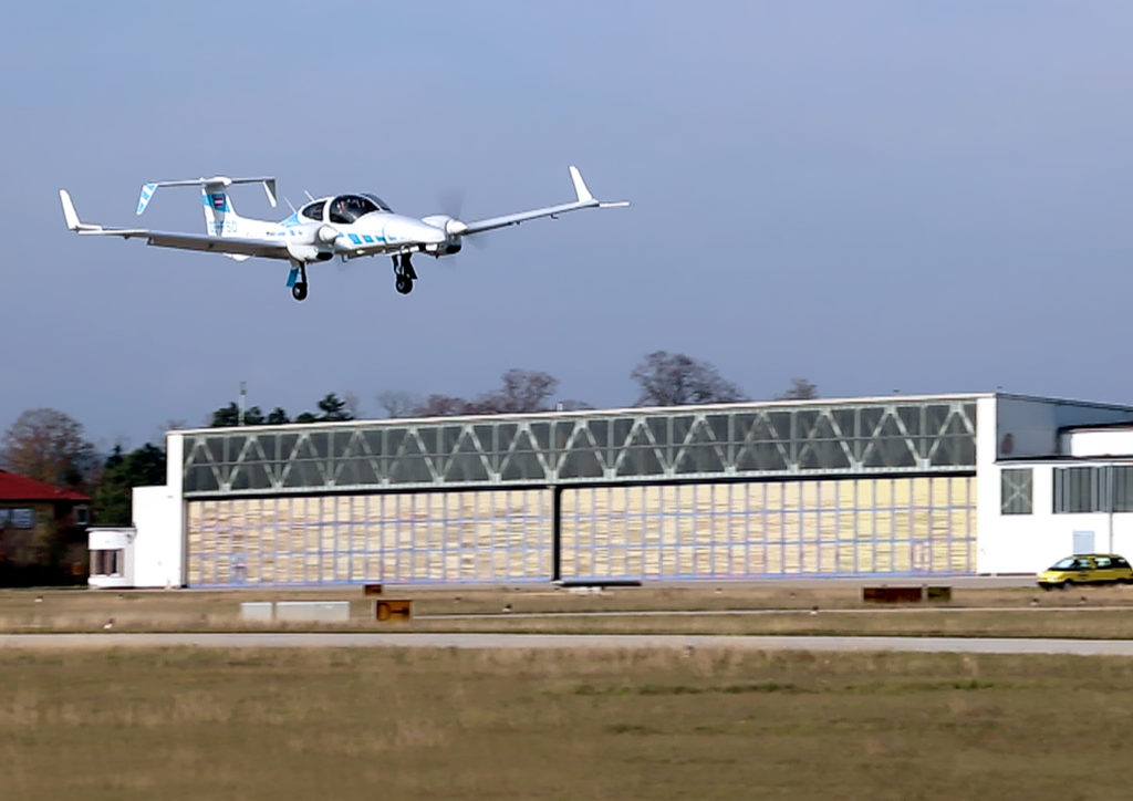
The modified research aircraft Diamond DA42 of the research project C2Land of the Technical University of Munich (TUM) and the Technische Universität Braunschweig during the completely automatic landing approach. Photo: Andreas Dekiert / C2Land.
The team, from the Technical University of Munich (TUM) and the Technische Universität Braunschweig, formed the project they call C2Land with funding from the German federal government. Two 2019 conference papers by the researchers, cited at the end of this article, give the technical underpinnings of the C2Land system.
What’s New.
Automatic landings by both commercial aircraft and small planes can and do take place at major airports with the Instrument Landing System (ILS) infrastructure to guide aircraft in with sufficient precision. Ground antennas send radio signals to the autopilot to make sure it navigates to the runway safely. Procedures in development to use GNSS alone to make autonomous landings also require a ground-based augmentation system.
But systems such as these are too expensive for small airports that will conceivably carry the major share of UAM: automated air freight transport and autonomous flying taxis.
What needs to happen before George Jetson air taxis become a reality? UAM will take place in the zone 500 to 5,000 feet above ground, transporting one to five passengers or cargo over distances of five to 50 miles. The vision shared by most UAM stakeholders, a group that includes NASA and the FAA, involves vertical take-off and landing rather than conventional “glide” takeoff and landing, but precise navigation to the landing spot is critical in both cases.
“Automatic landing is essential, especially in the context of the future role of aviation,” said Martin Kügler, research associate at the TUM Chair of Flight System Dynamics.
Fly-by-wire systems, semiautomatic and typically computer-regulated systems for aircraft navigation, use GPS signals for positioning. But since GPS is susceptible to errors, interference, and obstruction, it is not solely sufficient for landing procedures. Current GPS approach procedures require that human pilots resume control over the aircraft at 60 meters altitude, and land the aircraft manually.

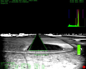
Infrared camera image with selected runway of the research project C2Land of the Technical University of Munich (TUM) and the Technische Universität Braunschweig. Image copyright TU Braunschweig.
To enable completely automated landings possible, the TU Braunschweig team designed an optical reference system: two cameras, one in normal visible range and one infrared camera for poor visibility conditions. Custom image processing software lets the system determine where the aircraft is relative to the runway based on the camera data it receives. Additional functions were integrated in the software, such as comparison of data from the cameras with GPS signals, calculation of a virtual glide path for the landing approach and flight control for various phases of the approach.
Test pilot Thomas Wimmer, who sat through the procedure with his hands folded, said “The cameras already recognize the runway at a great distance from the airport. The system then guides the aircraft through the landing approach on a completely automatic basis and lands it precisely on the runway’s centerline.”

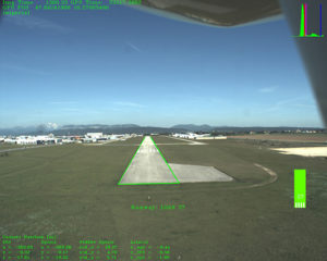
Diamond Aircraft airport runway, Camera image of the research project C2Land of the Technical University of Munich (TUM) and the Technische Universität Braunschweig. Photo copyright TUM.
The researchers presented their system in two papers at the Institute of Navigation’s 2019 Pacific PNT Meeting in April:
“Model-based Threshold and Centerline Detection for Aircraft Positioning during Landing Approach,” by S. Wolkow, M. Angermann, A. Dekiert, and Ulf Bestmann; and
“Linear Blend: Data Fusion in the Image Domain for Image-based Aircraft Positioning during Landing Approach,” by M. Angermann, S. Wolkow, A. Dekiert, U. Bestmann, and P. Hecker.
The papers are available at www.ion.org/publications/browse.cfm.
